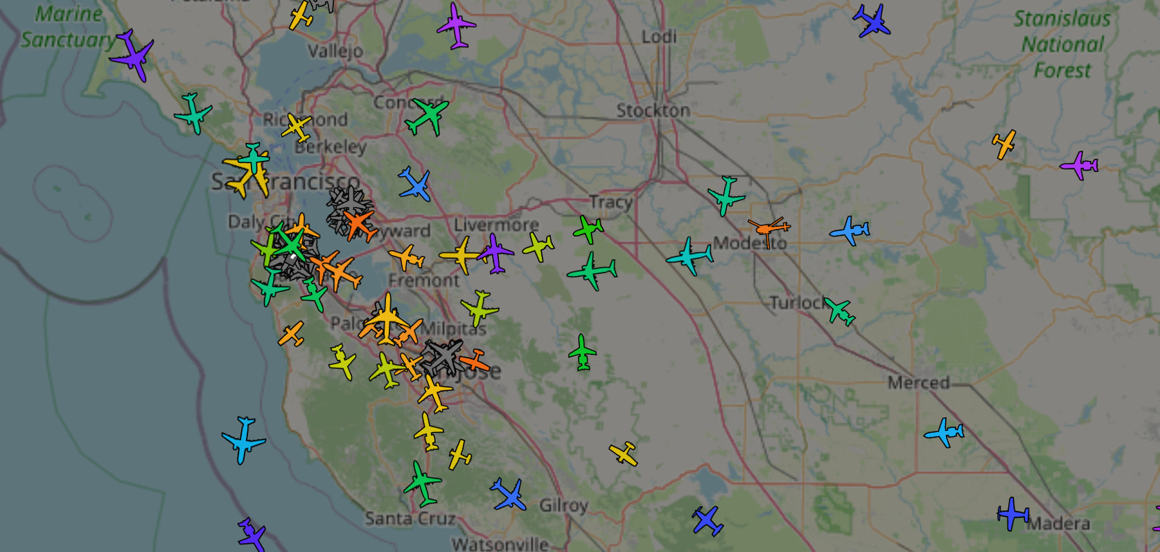
Ever wonder how those flight-tracking maps stay populated?
Aircraft constantly broadcast their position, altitude, speed, and callsign over 1090 MHz, and you can pick that up yourself with about $65 of hardware and a spare computer. It’s pretty plug-and-play and you should be able to get your own live radar picture in an evening.
What you need:
- (~$30) A 1090 MHz antenna. This one works, but any decent one is fine for what we’re doing.
- (~$35) An SDR adapter. This is one. Beware of fakes if you go elsewhere.
- A computer. Lots of people use a raspberry pi but proxmox works great too.
Setup:
Plug the antenna in to the adapter and the adapter into your computer. Ideally your antenna is high up on a tower but putting it in your window will work fine for close (read: maybe ~50-100 miles) range.
Grab an image from ADSB.im for your hardware. The image bundles the decoder, a web interface, and other tools all together to make your life easy. If you’re on proxmox don’t forget to pass the USB device through.
Then boot the image, click through the web setup (read the docs) and you should see planes in range pretty much immediately.
If you want to compare what you’re seeing with others you can find your location on a public aggregator like https://adsb.lol/ .
If you want, you can share the data you collect with the aggregators. Bonus: a lot of them will give you a free “premium” account if you do.
Check out GitHub - rickstaa/awesome-adsb: 📡 A curated list of awesome ADS-B tools, projects, images, resources and other shiny things. · GitHub for many more links if you want to tumble down a rabbit-hole.
PS - I recommend enabling SkyStats (a one-click option in the image above) and going to port :5173 on the computer hosting it. Over time it collects interesting aircraft it sees - military jets, civilian/corporate aircraft, etc.
(I’m not affiliated with any links or software in this post)